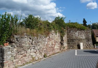
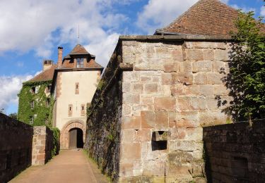
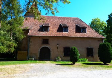
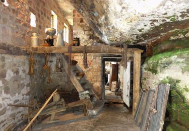
Trail Mountain bike La Petite-Pierre - Le Plateau - La Petite Pierre - Photo

Le Plateau - La Petite Pierre

 tracegps
tracegps

User

© OpenStreetMap contributors
Length
Length
19 km
Max alt
Max alt
385 m
Uphill gradient
Uphill gradient
331 m
Km-Effort
Km-Effort  
23 km
Min alt
Min alt
276 m
Downhill gradient
Downhill gradient
331 m
Boucle
Boucle
Yes
Creation date :
2014-12-10 00:00:00.0
Updated on :
2014-12-10 00:00:00.0

(0 Reviews)

Mountain bike
Mountain bike
2h00
Difficulty : Medium

Scan this QR Code to open this trail in the SityTrail application

FREE GPS app for hiking

Logo SityTrail SityTrail

IGN / Geographical institutes

Download SityTrail from the App Store Download SityTrail from Google Play

Logo SityTrail SityTrail World

The world is yours!

Download SityTrail from the App Store Download SityTrail from Google Play Download SityTrail on Huawei AppGallery

About

Trail Mountain bike of 19 km to be discovered at Grand Est, Bas-Rhin, La Petite-Pierre. This trail is proposed by tracegps.

Description

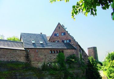
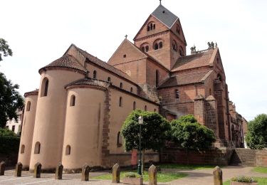
Le Plateau – La Petite Pierre. Un circuit de la Base VTT du Pays de La Petite Pierre labellisée par la Fédération Française de Cyclotourisme. Ce circuit familial traverse de belles forêts. II jalonne ensuite les premiers paysages ouverts du plateau lorrain, avec ses villages prospères ou XlX" siècle grâce à l'exploitation de plusieurs carrières de grès et d'une agriculture prédominante. Les obstacles naturels de La Petite-Pierre et ses environs, sa position entre la Lorraine et la vallée du Rhin expliquent aussi l'importance stratégique et la présence de la place forte de La Petite-Pierre.

Elevation profile

Photos

Positioning

Country:
France
Region :
Grand Est
Department/Province :
Bas-Rhin
Municipality :
La Petite-Pierre
Location:
Unknown
Start:(Dec)
Start:(UTM)
376675 ; 5412904 (32U) N.

Trails nearby

Trail On foot La Petite-Pierre - Triangle vert - Photo
On foot
GUIDE+

On foot

Easy
La Petite-Pierre, Grand Est, Bas-Rhin, France
15.1 km | 19.2 km-effort
4h 22min
No
Trail On foot La Petite-Pierre - Anneau bleu - Photo
On foot
GUIDE+

On foot

Easy
La Petite-Pierre, Grand Est, Bas-Rhin, France
4.7 km | 6.8 km-effort
1h 33min
Yes
Trail On foot Eschbourg - Triangle rouge - Photo
On foot
GUIDE+

On foot

Easy
Eschbourg, Grand Est, Bas-Rhin, France
6.8 km | 9.7 km-effort
2h 12min
No
Trail On foot Eschbourg - Chemin des Fontaines - Photo
On foot
GUIDE+

On foot

Easy
Eschbourg, Grand Est, Bas-Rhin, France
6.6 km | 9.1 km-effort
2h 3min
No
Trail On foot Dossenheim-sur-Zinsel - Croix rouge - Photo
On foot
GUIDE+

On foot

Easy
Dossenheim-sur-Zinsel, Grand Est, Bas-Rhin, France
13.2 km | 17.1 km-effort
3h 53min
No
Trail On foot La Petite-Pierre - Triangle rouge - Photo
On foot
GUIDE+

On foot

Easy
La Petite-Pierre, Grand Est, Bas-Rhin, France
9.6 km | 13.1 km-effort
2h 59min
No
Trail On foot La Petite-Pierre - Chevalet bleu - Photo
On foot
GUIDE+

On foot

Easy
La Petite-Pierre, Grand Est, Bas-Rhin, France
9.8 km | 13.6 km-effort
3h 5min
No
Trail On foot La Petite-Pierre - Rectangle jaune barré de blanc - Photo
On foot
GUIDE+

On foot

Easy
La Petite-Pierre, Grand Est, Bas-Rhin, France
3.9 km | 5.4 km-effort
1h 13min
No
Trail On foot La Petite-Pierre - Triangle bleu - Photo
On foot
GUIDE+

On foot

Easy
La Petite-Pierre, Grand Est, Bas-Rhin, France
5.8 km | 7.5 km-effort
1h 41min
No


Close
My subscriptions